Inside the perimeter, nothing is lost.
AISAR Track is a digital beamforming radar for the working envelope of a protected site. It holds low-signature targets in three dimensions from the outer boundary to the point where the close-in layer takes over — and the hand-over is not a hand-over, because it is the same track.
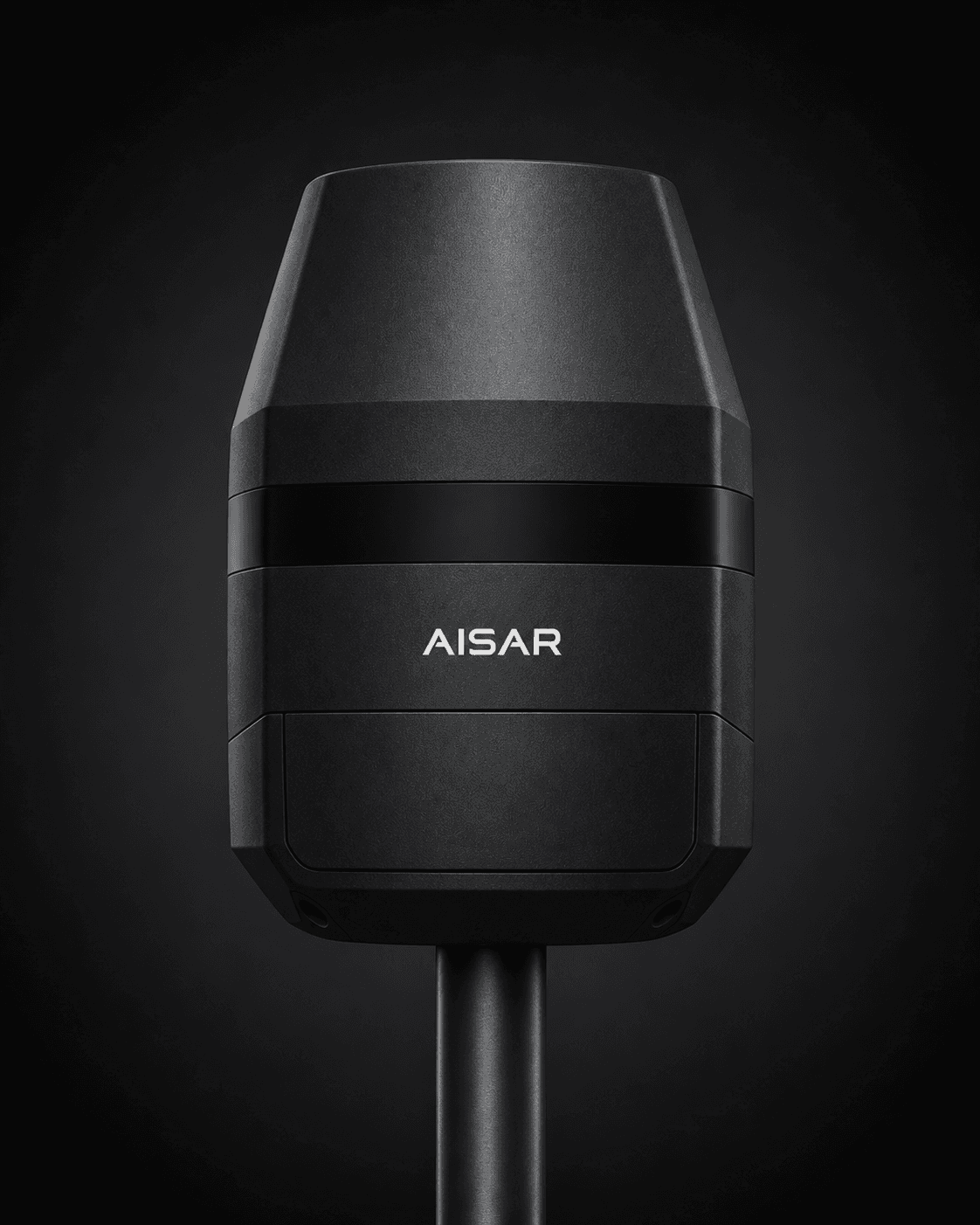
Electronic beam steering with microsecond repositioning across the full field of regard. No moving parts, no rotation period, no waiting for the antenna to come back around.
Maintains track on radar cross-sections down to 0.01 m² — the class of small multirotor and fixed-wing platforms that surveillance radar was never designed to resolve.
Coherent pulse-Doppler processing gives velocity discrimination down to 0.5 m/s, separating a drone from birds, vehicles and moving vegetation.
Adaptive CFAR processing with ground-clutter maps that update with the environment. The system learns the site rather than being tuned to it once at commissioning.
Full three-dimensional tracks with altitude, not a two-dimensional plan position. Without altitude a track cannot tell a security team which building, which floor or which approach.
Correlates with the passive RF layer, the close-in layer and the acoustic and optical channels. Single-channel false-positive rates of 40–60% resolve to 97% confidence when four channels are fused.
Technical specifications depend on configuration, deployment geometry and site conditions, and are confirmed per project.
Spectrum authorisation is separate from export-control classification. Export-control status is determined by the specific configuration, its technical parameters, the country of destination and the end use.
Covers the approach, threshold and taxiway geometry that surveillance radar does not resolve. Maintains continuous track through the protected volume and hands off to close-range sensors at the fence.
Power stations, water treatment, government compounds. Perimeter coverage without gaps, with track continuity from the outer early-warning layer to the fence line.
Vehicle-mounted configuration deploys in under an hour and provides full 360° coverage of a temporary perimeter. Packs down to a standard vehicle payload.
Covers a linear segment at a range that keeps the protected area inside the sensor footprint. Chains with adjacent sensors via the shared mesh without custom integration.
Track inside the perimeter.
Talk to our team about deploying AISAR Track at your site.